Our East Central PA forecast region includes the Lehigh Valley, Hamburg, Reading, Lebanon, Harrisburg, Pottsville & surrounding areas. Forecasts are updated daily M-F, and Saturday that covers both weekend days.
Daily Forecast Video
Daily Forecast Discussion
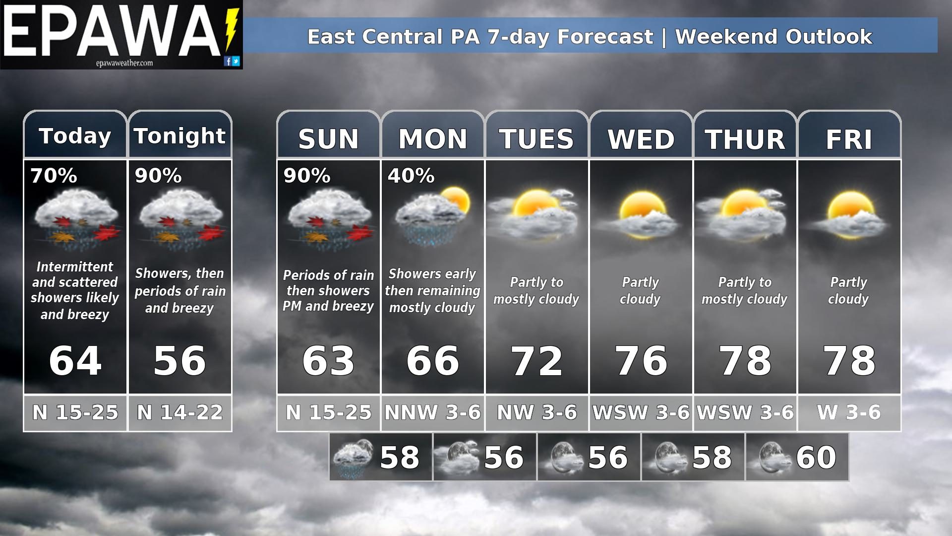
Weekend nor’easter affects the weekend…
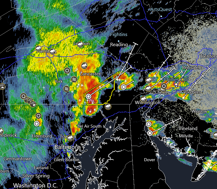
A coastal low/nor’easter impacts our region over the weekend Showers are likely Saturday along with with breezy conditions, evolving into steadier periods of rain overnight and into at least the first half of Sunday…. perhaps tapering off to showers in the afternoon and evening and ending Sunday night. For the latest rain and wind projections for this system, including full impacts discussion, visit the Weather Alerts page here: https://epawaweather.com/weather-alerts/
The system exits to the NE into New England Monday, but may have a leftover shower early Monday before departing, then remaining mostly cloudy in the afternoon. Fair skies are expected to return once again Tuesday with comfortable with closer to average temps, then warming to slightly above average mid to upper 70s Wednesday through Friday ahead of the next front.
Forecaster: Martrich 26 September 0300z
| Average high | Average low | Record high temp (year) | Record low temp (year) |
| 74°F | 51°F | 90°F (2007) | 35°F (1967) |
*Climatology information is based off of Allentown/Lehigh Valley, PA